5 Ways GIS Can Revolutionize Municipal Operations and Planning
 0 min
0 minGIS (Geographic Information System) is a powerful tool that enables municipalities to collect, manage, analyze, and map vast geographic data. With GIS, spatial information becomes more accessible, improving many public services. Here's how municipalities can benefit from leveraging GIS:
1. Optimized Geographic Database for Efficient Management
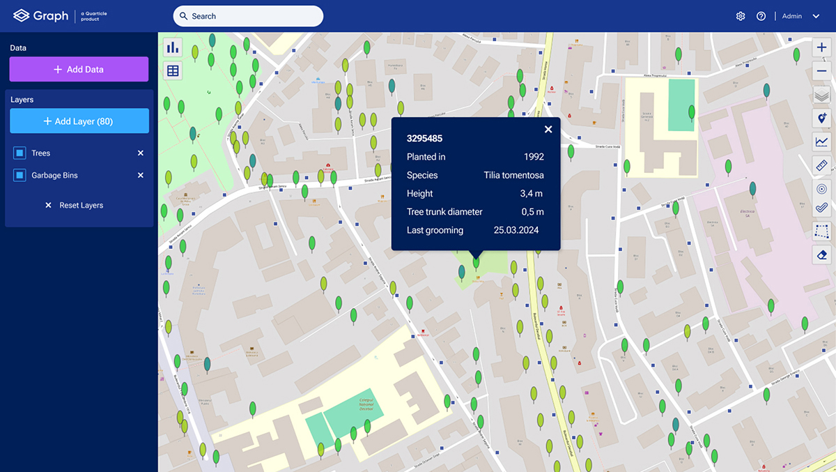
GIS allows municipalities to integrate various data layers— such as parcels, roads, green spaces, and points of interest— into a single, unified platform. This comprehensive view enables officials to manage assets more efficiently. For example, by creating a digital green space register or monitoring urban infrastructure, municipalities can maintain accurate records and plan future developments. The ability to visualize data geographically also aids in identifying patterns and prioritizing areas for maintenance.

2. Digitization and Long-Term Maintenance of Cadastral Data
One of the great functions of GIS is the ability to digitize cadastral (land) data. Through GIS, municipalities can move away from paper-based land records and develop a dynamic, updatable digital database. This not only streamlines data management but also ensures the long-term maintenance and accuracy of land records, which is essential for urban planning, zoning, and property taxation.
3. Utility Management for Better Resource Allocation
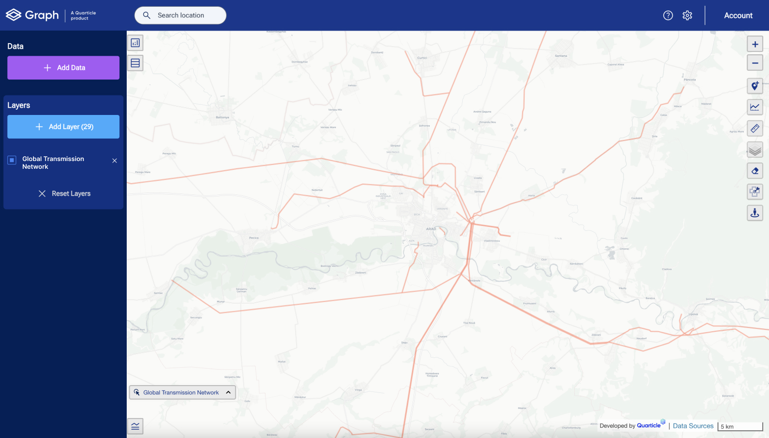
GIS can revolutionize how municipalities manage public utilities like water, electricity, gas, and waste. By mapping and analyzing utility networks, municipal staff can optimize resource allocation, plan maintenance schedules, and predict areas at risk of service interruptions. For example, municipalities can use GIS to locate leaks in water supply systems or plan the expansion of power grids in growing neighborhoods.

4. Streamlining Permits and Planning with WebGIS Applications
WebGIS applications provide municipalities with user-friendly tools to streamline administrative tasks. Municipal staff can use these applications to visualize where construction permits have been issued and identify trends in urban development. Additionally, WebGIS can be used to issue planning certificates and new building permits, making the approval process more efficient. This automation frees up staff resources and reduces processing times for residents and developers.
5. Monitoring Illegal Activities and Environmental Hazards
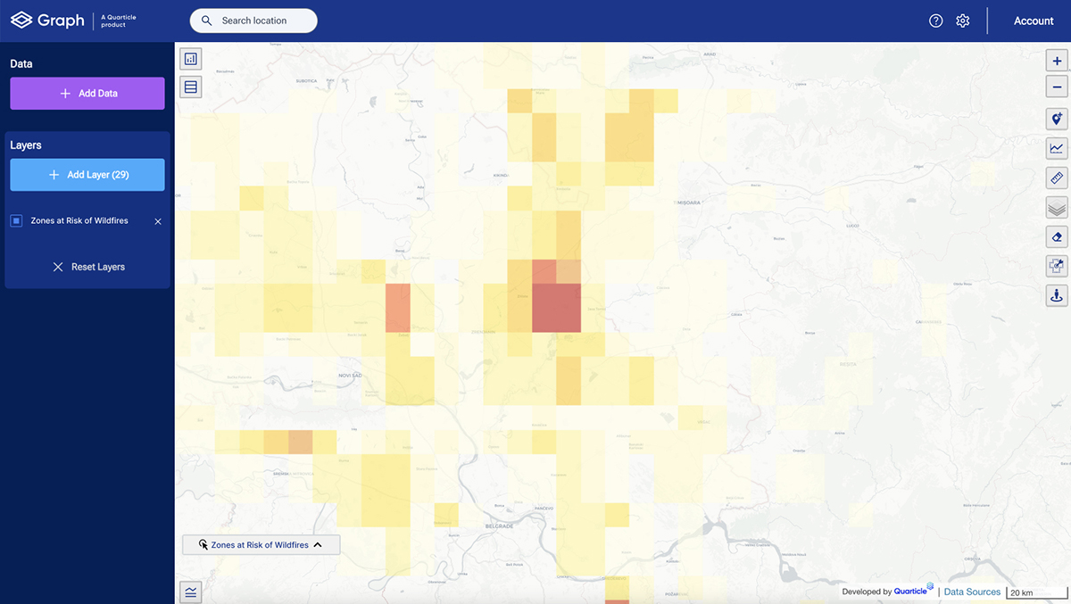
GIS integrates satellite imagery, which can be invaluable for monitoring illegal activities and environmental hazards. Municipalities can track and mitigate issues such as illegal landfills, unapproved construction, and even potential wildfire zones. By integrating real-time satellite data, municipalities can act swiftly to address problems before they escalate, promoting environmental sustainability and public safety.

For municipalities, adopting GIS is more than just a technological upgrade— it's a strategic investment in efficient, data-driven governance. From managing utilities to issuing permits, monitoring environmental hazards, and maintaining accurate land records, GIS provides municipalities with a comprehensive toolset to improve the quality of life for residents. Embracing GIS empowers cities and towns to grow smarter, respond faster, and plan better for the future.
If you're a municipal leader looking to streamline operations and make data-driven decisions, integrating GIS into your workflows could be the game-changer your community needs.
Start this journey with Quarticle and let us help you decipher real-world geospatial information and translate it into valuable insights for your community. We deliver quick, flexible, and secure cloud-native technology services and products always keeping in mind the specific needs of each client. Reach out through our contact form.