
Geospatial AI and Machine Learning: The Key to Smarter Business Strategies
 0 min
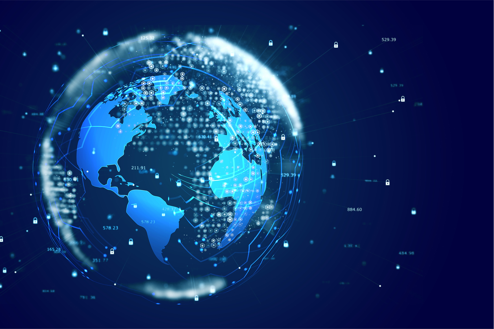
0 minThe rapid evolution of geospatial technology has brought forth a transformative era where Geospatial AI and Machine Learning in mapping are reshaping how businesses and organizations analyze spatial data. Today, GIS solution providers empower clients with spatial machine learning models and predictive spatial analytics to tackle complex challenges, optimize operations, and extract meaningful insights.
What is Geospatial AI and why does it matter?
Geospatial AI combines artificial intelligence with geospatial data to uncover patterns, trends, and relationships often invisible to any other type of analysis. By training machine learning models on location-based datasets, organizations can:
- Predict future trends, such as population shifts or demand for services.
- Detect anomalies, such as environmental risks or irregular delivery patterns.
- Optimize workflows, including route planning, risk assessments, and asset management.
For example, in the logistics, insurance, and urban planning industries, a combination of AI and geospatial applications is no longer a luxury—it’s becoming a necessity for staying competitive.
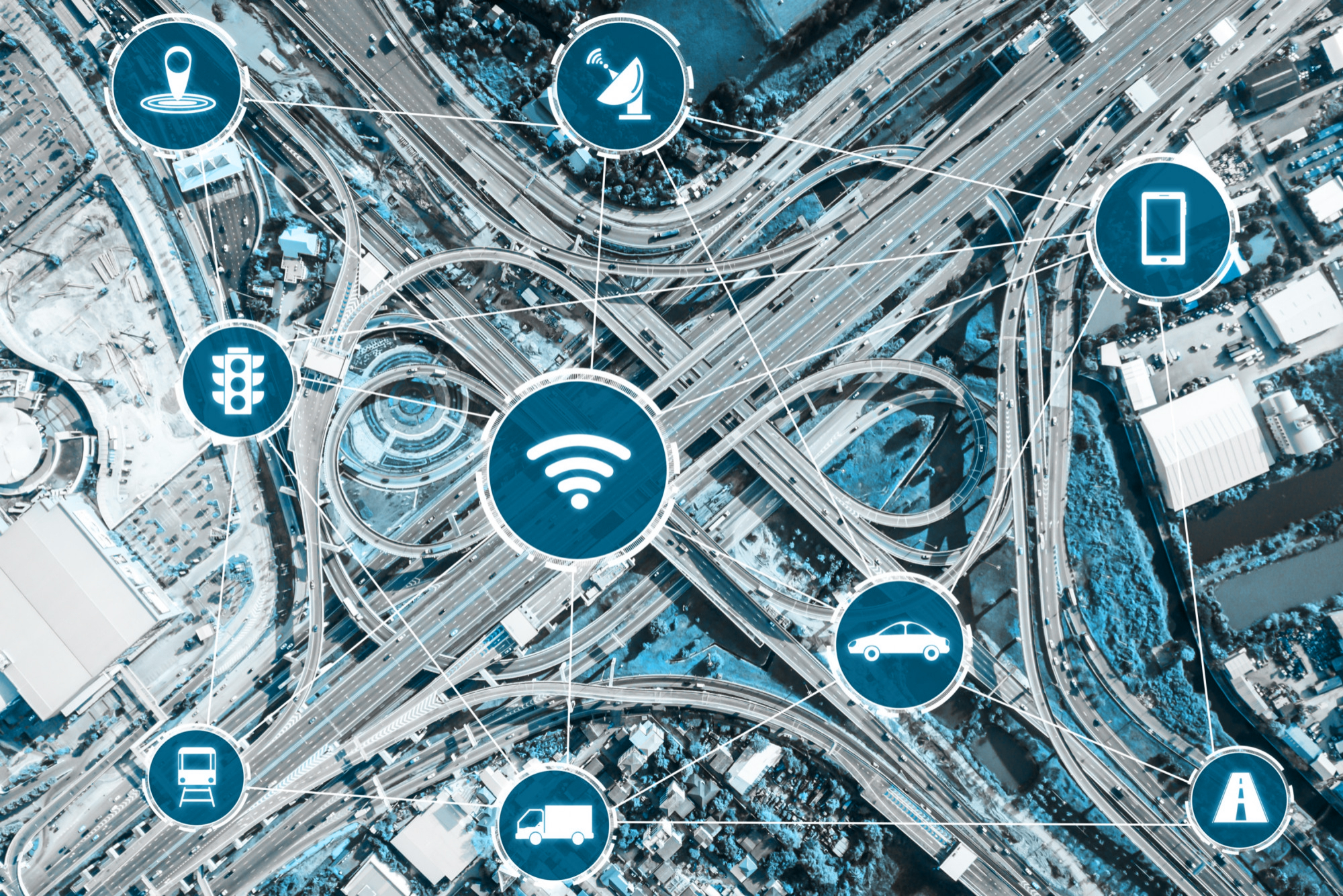
How Geospatial AI is integrated into different industries
- Data-driven risk assessment for insurance: By using spatial machine learning models, insurers can now analyze and predict risks more effectively (for example, they can predict natural disaster risks and optimize capital allocation). By combining geospatial data with advanced AI models, geospatial tools identify areas of high exposure and provide actionable insights for smarter underwriting decisions.
- Predictive analytics for logistics and supply chains: Predictive spatial analytics empowers logistics companies to optimize delivery routes and forecast future bottlenecks. New solutions analyze traffic patterns, population density, and parcel distribution to enhance efficiency and reduce costs. Based on demand forecasts, predictive analytics can even identify the best locations for distribution centers.
- Dynamic mapping with machine learning in a variety of industries: New platforms incorporate machine learning into mapping to allow real-time analysis and visualization of geospatial data. By layering AI-powered insights on top of interactive maps, users can make informed decisions more quickly and effectively. For example, at Quarticle, we leverage Machine Learning models to assess companies' creditworthiness as part of a broader financial analysis linked to geospatial data.
The Future of Geospatial AI
The integration of AI into geospatial applications is just the beginning. As data becomes more complex and interconnected, the demand for spatial machine-learning models will continue to grow, opening new possibilities across industries. Are you ready for what’s ahead?
For more on this topic check out this blog post: AI Meets Geography: Exploring the GeoAI Revolution.
At Quarticle, we’re committed to staying ahead of these advancements, delivering cutting-edge, cloud-native solutions tailored to your unique needs. Whether it’s predictive analytics for logistics or risk assessment for insurance, our expertise ensures you’re prepared for tomorrow's challenges and opportunities. Contact us and let’s work together to unlock the full potential of your data and build smarter, more innovative solutions for your business.