
How GIS Supports the Emergency Management Cycle
 0 min
0 minIn disaster management, timing, accuracy, and coordination are everything. Whether responding to floods, wildfires, earthquakes, or industrial accidents, emergency managers must make rapid, informed decisions to minimize damage and save lives. This is where Geographic Information Systems (GIS) play a crucial role.
GIS integrates spatial data, real-time analytics, and predictive modeling, enabling responders and policymakers to make sense of complex, rapidly changing situations. It is applied throughout the entire emergency management cycle, enhancing preparedness, response, recovery, and mitigation.
1. Mitigation: Reducing risk before disasters strike
Mitigation involves identifying hazards, assessing vulnerabilities, and taking proactive steps to minimize disaster impact. GIS helps by:
- Mapping high-risk areas: Flood zones, seismic faults, wildfire-prone regions, and industrial hazard zones can be visualized to guide risk reduction.
- Analyzing historical data: Understanding past disaster patterns helps predict future risks.
- Supporting infrastructure resilience: GIS helps assess structural vulnerability, optimize drainage networks, and plan emergency exits in urban areas.
2. Preparedness: Planning for an effective response
Preparedness ensures that emergency teams, resources, and communities are ready to act when a disaster occurs. GIS is critical for:
- Creating evacuation routes: Mapping and optimizing escape paths based on population density and hazard proximity.
- Locating emergency resources: Identifying hospitals, shelters, supply zones, and emergency response hubs.
- Scenario planning and simulations: Using GIS-based modeling to test disaster response strategies.
3. Response: Real-time data for rapid decision-making
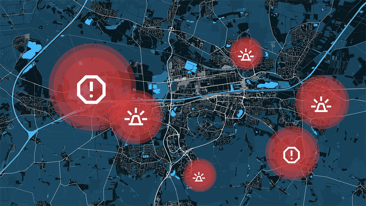
When disaster strikes, GIS provides real-time situational awareness, ensuring efficient resource allocation and coordination. Key applications include:
- Live event mapping: Displaying affected areas, emergency response teams, and available resources in real time.
- Damage assessment: Drones and satellite imagery integrated with GIS help first responders assess infrastructure damage quickly.
- Dynamic routing for emergency teams: GIS provides up-to-date road conditions and hazards, allowing emergency responders to find the fastest and safest routes.
4. Recovery: Restoring communities and rebuilding smarter
The recovery phase focuses on rebuilding infrastructure, restoring services, and supporting affected populations. GIS helps by:
- Assessing long-term damage: Mapping destruction to prioritize reconstruction efforts.
- Tracking displaced populations: Using spatial analytics to manage aid distribution and resettlement efforts.
- Re-evaluating risk and planning improvements: Post-disaster GIS data can help develop stronger mitigation strategies for the future.
The role of advanced geospatial intelligence in emergency management
Modern emergency management demands fast, scalable, and interoperable geospatial solutions. Platforms that support real-time data integration and advanced analytics help emergency teams respond with precision.
How is your organization using GIS in emergency management?
At Quarticle, we understand the power of geospatial intelligence in disaster resilience. Whether it's risk modeling, real-time accumulation control, or high-performance GIS processing, leveraging spatial data can be the key to minimizing losses. Reach out, and let’s discuss more.