Understanding Formats and Coordinates in Geospatial Data
 0 min
0 minThe smooth integration of geographic information in applications such as Google Maps and the precise calculations powering GPS systems highlight the significant advancements made in the field. However, understanding the various geospatial data formats and coordinates remains a complex task.
The following guide aims to explore some of the most commonly used data formats and coordinate systems in the realm of geographic data science.
Geospatial Data Formats
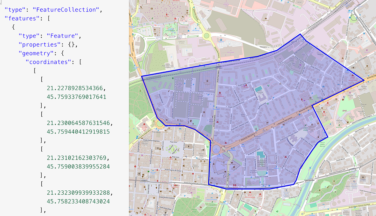
GeoJSON: If you're familiar with JSON, GeoJSON will feel like second nature. This format simplifies the representation of geographical features with coordinates and supports various geometry types, making it a popular choice for spatial data analysis.

Shapefile: A staple in GIS software like ArcGIS and QGIS, shapefiles store both geometric and attribute data, allowing for comprehensive spatial analysis and visualization.
KML: Developed by Keyhole Inc. (later acquired by Google), KML files are widely used in Google applications such as Maps and Google Earth. With its XML-based format, KML facilitates the creation of interactive data maps and seamless integration with other spatial data formats.
Coordinate Systems
WGS84: As the global standard for mapping and spatial representation, WGS84 employs latitude and longitude coordinates to pinpoint locations accurately. Behind the scenes, complex mathematical models ensure precision in geospatial calculations. For example for Bucharest City Hall:
Latitude: 44.427765
Longitude: 26.099721
UTM: Universal Transverse Mercator divides the Earth into zones, each with its own set of local coordinates, minimizing distortion and maximizing precision for local mapping needs. For example, the coordinates for a location in Los Angeles, California look like this:
Easting: 379165.08
Northing: 3760410.81
Zone: 11S
Working with Diverse Geospatial Datasets
Ensuring consistency in format and coordinate systems is essential when working with spatial datasets from various sources. Converters are invaluable tools for harmonizing different datasets and avoiding compatibility issues.
To sum up, while working with spatial data may present its share of complexities, the tools and systems in place offer robust solutions for navigating the intricacies of geographic information. Having a solid understanding of data formats and coordinate systems you'll be well-equipped to unlock the full potential of geospatial data analysis. That’s exactly what we do at Quarticle, as we continue to push the boundaries of geospatial science and harness its power across diverse domains.
Article inspired by Ben Chamblee.