How Cloud Solutions Enhance Geospatial Data for Business and Beyond
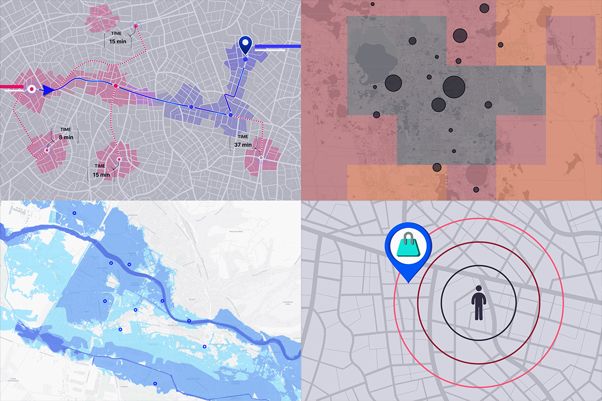
Data generation is accelerating at an unprecedented rate, with billions of data points being created every hour. As this continues to be produced around the globe, geospatial data is increasingly important for many businesses.

Geocoding APIs: The Key to Modern Geospatial Analysis and Applications
Geocoding APIs are essential tools for businesses and organizations that rely on location data. These APIs allow developers to convert addresses and other location information into geographic coordinates, facilitating geospatial analysis, visualization, and mapping applications.

Catchment Area Analysis: An Indispensable Tool for Your Business
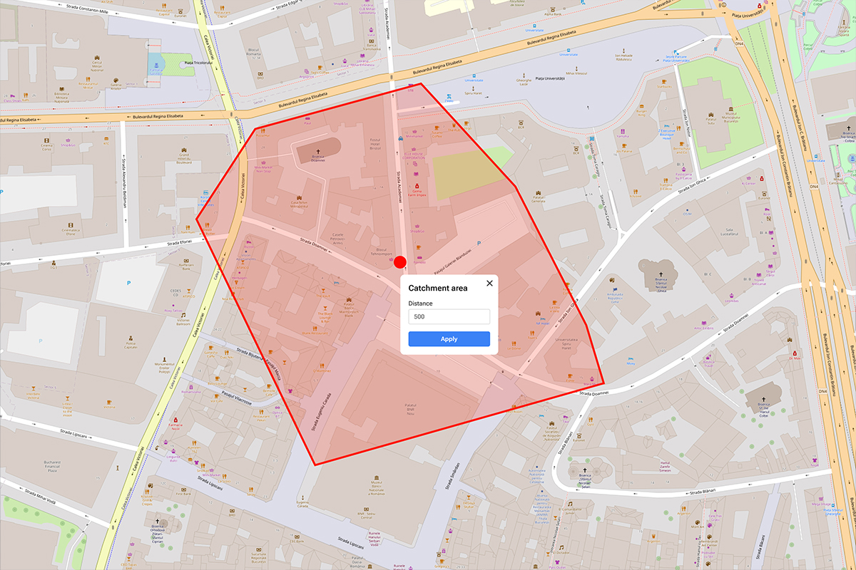
In the current world of business strategy, understanding where your customers come from is the key to success. This understanding is closely tied to catchment area analysis, a process that leverages your location information.

A Comprehensive Guide for Commonly Used GIS Data Types
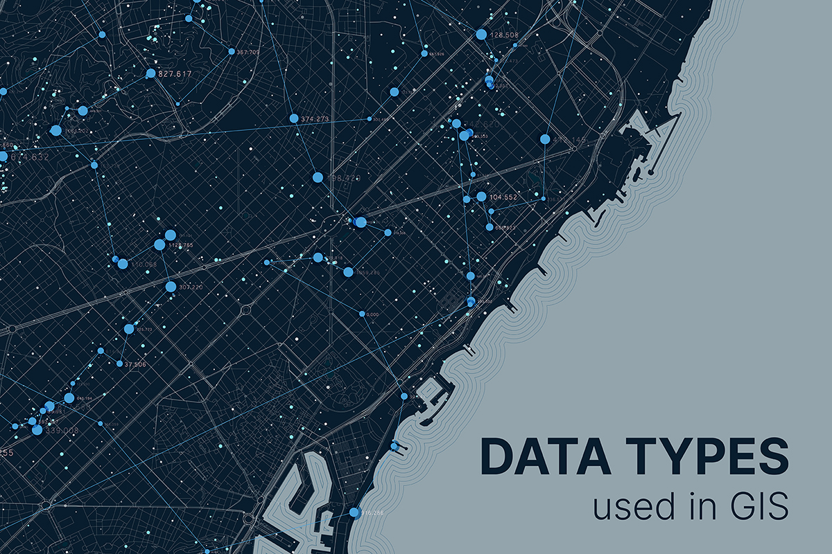
As GIS continues to evolve, the use of various data types becomes increasingly critical for effective spatial analysis and decision-making. Understanding the characteristics, strengths, and applications of commonly used GIS data types empowers professionals across diverse industries to leverage geospatial data to its fullest potential.

Kubernetes Operator for GeoServer: Quarticle’s Approach to Automation
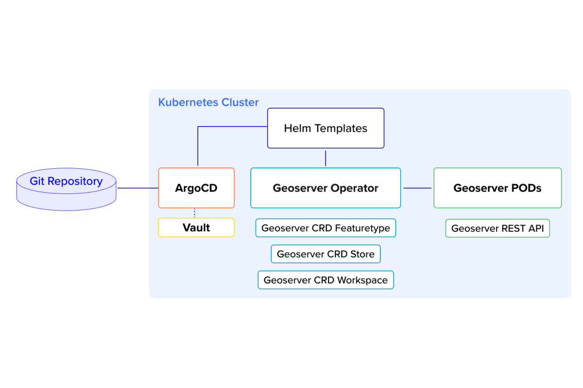
In the ever-evolving landscape of geospatial technology, automation, and scalability have become critical for managing geo-servers efficiently. In this blog post, we dive into our innovative approach to managing GeoServer Cloud using a Kubernetes (K8s) operator, combined with Helm templates, ArgoCD, and Vault for seamless and reliable automation.