
International Disaster Risk Reduction Day: Leveraging GIS for a Safer Future
International Disaster Risk Reduction Day, celebrated every year on October 13th, emphasizes the critical need for proactive strategies to mitigate the effects of natural hazards.
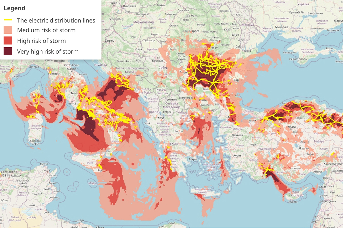
Using severe weather predictions to forecast power lines damages
Almost all of our day-to-day activities heavily depend on electricity and power usage, from telecommunications and transportation to different forms of entertainment and leisure activities. However, the electricity supply can be unexpectedly interrupted by
Join Quarticle at FOSS4G 2023 as we sponsor a community of innovation
Mark your calendars! This year, between June 26th and July 2nd, the Quarticle team is sponsoring and speaking at FOSS4G, the international annual gathering of location enthusiasts and the largest global gathering for geospatial software. Will we

How Cloud Solutions Enhance Geospatial Data for Business and Beyond
Data generation is accelerating at an unprecedented rate, with billions of data points being created every hour. As this continues to be produced around the globe, geospatial data is increasingly important for many businesses.
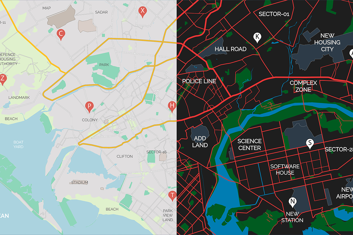
GIS for Everyone: Implementing Accessibility Features
In the realm of Geographic Information Systems (GIS), accessibility has become a crucial yet often overlooked aspect. While GIS technologies have revolutionized spatial data analysis and visualization, a significant gap exists in ensuring equal access for all users.

Understanding Formats and Coordinates in Geospatial Data
The smooth integration of geographic information in applications such as Google Maps and the precise calculations powering GPS systems highlight the significant advancements made in the field. However, understanding the various geospatial data formats and coordinates remains a complex task.

Global Recycling Day: 7 Ways GIS Impacts Current Recycling Initiatives
Every year, March 18th marks Global Recycling Day, a worldwide focal point for promoting sustainable waste management. GIS and our current knowledge around recycling practices offer a powerful unity to increased environmental consciousness.
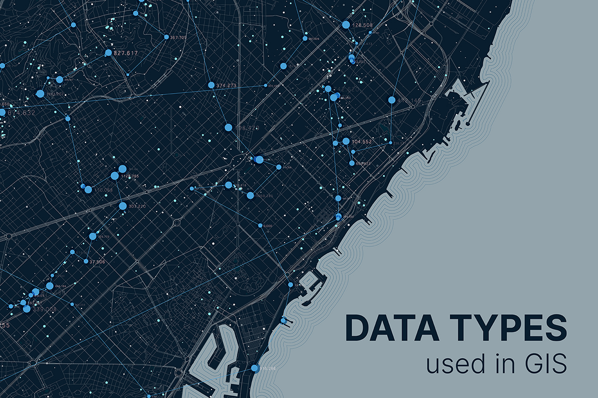
A Comprehensive Guide for Commonly Used GIS Data Types
As GIS continues to evolve, the use of various data types becomes increasingly critical for effective spatial analysis and decision-making. Understanding the characteristics, strengths, and applications of commonly used GIS data types empowers professionals across diverse industries to leverage geospatial data to its fullest potential.

Delivery address accuracy: A non-negotiable component for success
In the age of online shopping, growing e-commerce markets, and rapid urbanization, having accurate delivery addresses is essential for delivery companies. Whether you are a small local delivery service or a global logistics giant, the accuracy of delivery addresses plays a critical role in the success and efficiency of your business.
7 Reasons Why GIS is Your Competitive Edge in 2024
Businesses integrating GIS into their strategies are better equipped to adapt and thrive in an ever-changing landscape. From efficiency gains to personalized customer experiences and sustainability efforts, GIS is essential for business success in the coming year and beyond.
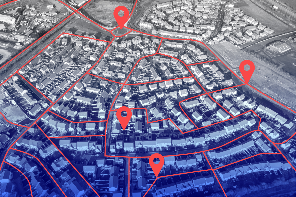
5 Ways GIS Can Revolutionize Municipal Operations and Planning
GIS (Geographic Information System) is a powerful tool that enables municipalities to collect, manage, analyze, and map vast geographic data. With GIS, spatial information becomes more accessible, improving many public services.
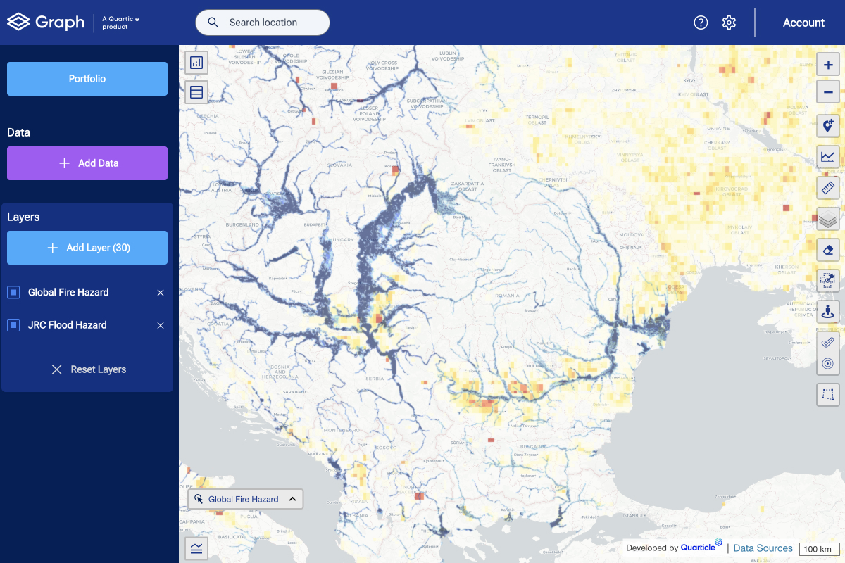
Debunking 5 Common Myths About GIS Technology in the Insurance Industry
Exposure management is crucial for insurance companies to maintain sufficient capital against catastrophic losses. Without carefully balancing their exposures and capital, a single catastrophe can put a company out of business.

Top Three GIS Trends to Watch in 2025
As we move into 2025, Geographic Information Systems (GIS) continue to evolve, becoming more integral to decision-making processes across industries and offering new capabilities and solutions. Here are the top three GIS trends we believe are going to shape the future.
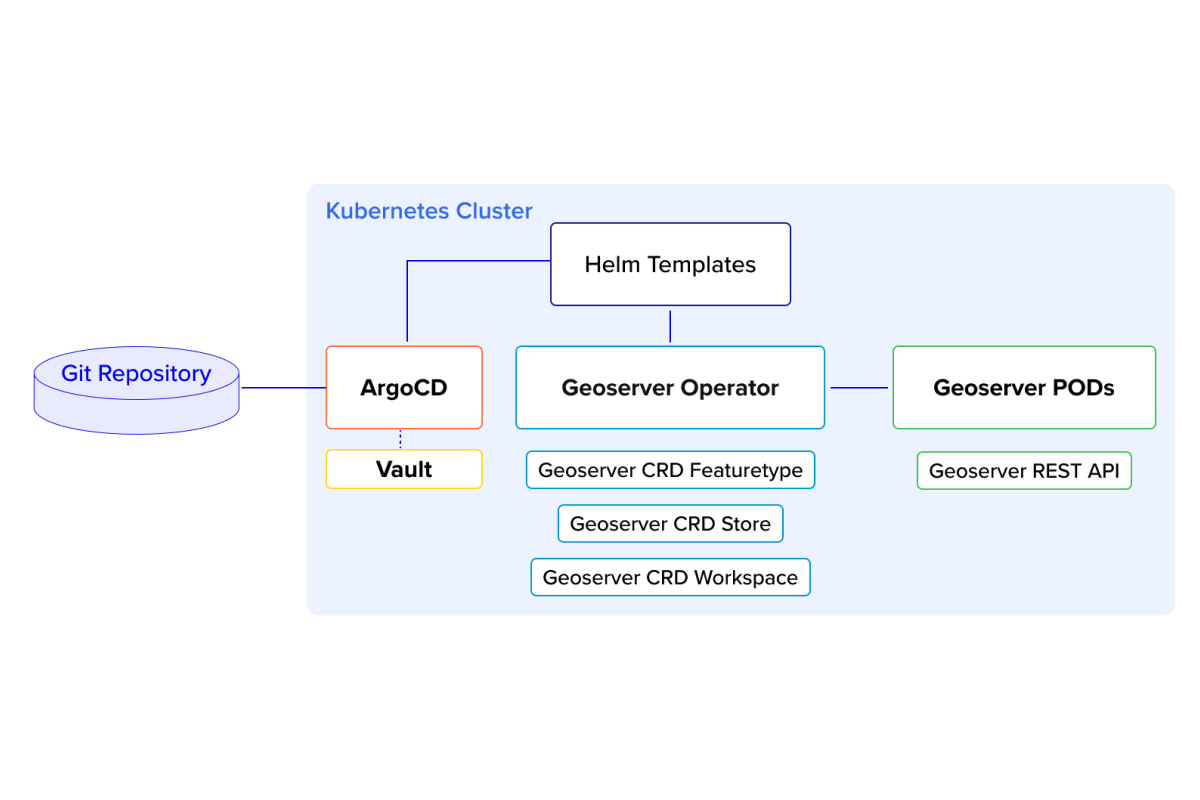
Kubernetes Operator for GeoServer: Quarticle’s Approach to Automation
In the ever-evolving landscape of geospatial technology, automation, and scalability have become critical for managing geo-servers efficiently. In this blog post, we dive into our innovative approach to managing GeoServer Cloud using a Kubernetes (K8s) operator, combined with Helm templates, ArgoCD, and Vault for seamless and reliable automation.

Geospatial AI and Machine Learning: The Key to Smarter Business Strategies
The rapid evolution of geospatial technology has brought forth a transformative era where Geospatial AI and Machine Learning in mapping are reshaping how businesses and organizations analyze spatial data. Today, GIS solution providers empower clients with spatial machine learning models and predictive spatial analytics to tackle complex challenges, optimize operations, and extract meaningful insights.
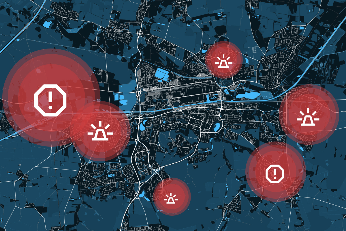
How GIS Supports the Emergency Management Cycle
In disaster management, timing, accuracy, and coordination are everything. Whether responding to floods, wildfires, earthquakes, or industrial accidents, emergency managers must make rapid, informed decisions to minimize damage and save lives. This is where Geographic Information Systems (GIS) play a crucial role.

From the 2005 Floods to Future Climate Resilience: Key Takeaways from the Mobiliar Lab for Natural Risks Event
On May 19th, 2025, Quarticle had the privilege of attending the Mobiliar Lab for Natural Risks in Bern, Switzerland. Held in the historically flood-prone Berner Matte, the event brought together Swiss climate researchers, insurers, public sector leaders, and technology providers to reflect on past lessons and future strategies in natural hazard management.

Beyond Basics: Understanding GIS Data Processing and Optimization
GIS is built on a foundation of spatial data, but knowing the different GIS data types is just the first step. Once you understand the distinctions between vector, raster, point clouds, and tabular data, the next challenge is processing, optimizing, and integrating this data to extract meaningful insights.

On the Road Together: Highlights from Our 2025 Team Trip
This summer, the Quarticle team took a break from screens and sprint boards and got on the road for a team-building trip that combined time off, fun experiences, and a meaningful attendance at FOSS4G Europe. Starting from our home base in Arad, Romania, we road-tripped through Dubrovnik and made our way to Mostar for a week of open-source geospatial inspiration, great conversations, and community spirit.