Geocoding APIs: The Key to Modern Geospatial Analysis and Applications
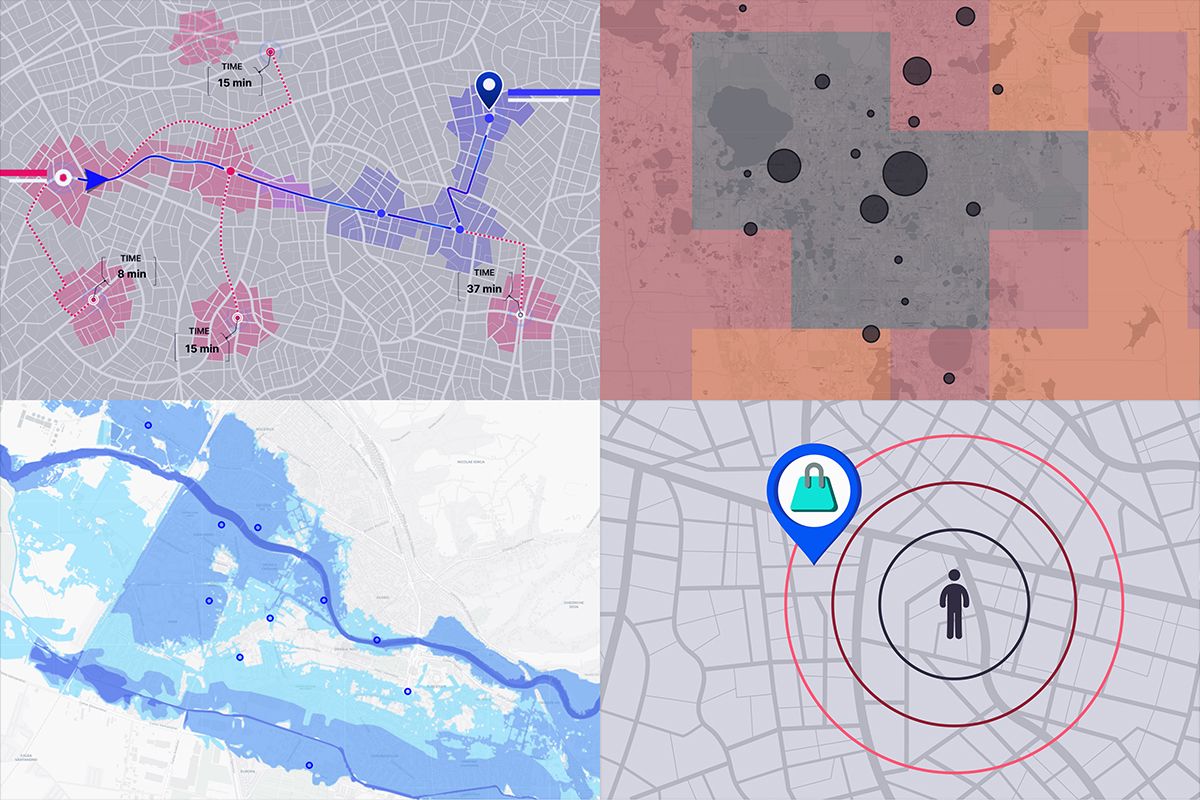
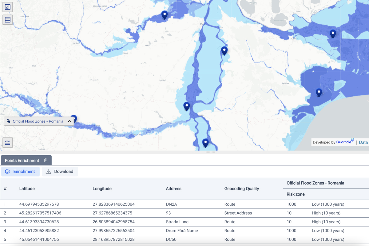
Geocoding APIs are essential tools for businesses and organizations that rely on location data. These APIs allow developers to convert addresses and other location information into geographic coordinates, facilitating geospatial analysis, visualization, and mapping applications.

Harnessing GIS and Location Intelligence to Mitigate Heatwaves and Droughts
The constant threats from heatwaves and droughts severely impact societies and nations at large and their spread throughout the world is increasingly worrying. These extreme weather events can have devastating effects on ecosystems, agriculture, public health, and urban infrastructure.

Three use cases where location intelligence is crucial for decision-making
Among many digital technologies, GIS technology stands out for its distinctive ability to intertwine data with location. This unique feature ushers in a wave of digital transformation across diverse sectors, offering a multitude of applications for businesses.

7 Reasons Why GIS is Your Competitive Edge in 2024
Businesses integrating GIS into their strategies are better equipped to adapt and thrive in an ever-changing landscape. From efficiency gains to personalized customer experiences and sustainability efforts, GIS is essential for business success in the coming year and beyond.

The Cost of Subjectivity: Why Accurate Risk Assessment Is Critical for Insurers
Risk assessment in the insurance and reinsurance industry should be rational and objective. However, human biases, emotions, and subjectivity can unintentionally skew assessments, leading to inaccurate risk evaluations. This results in mispriced policies, inefficient capital allocation, and financial losses.

How GIS Supports the Emergency Management Cycle
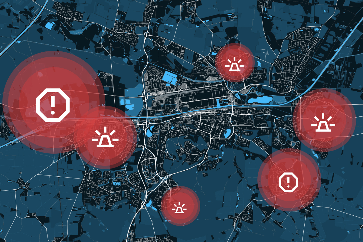
In disaster management, timing, accuracy, and coordination are everything. Whether responding to floods, wildfires, earthquakes, or industrial accidents, emergency managers must make rapid, informed decisions to minimize damage and save lives. This is where Geographic Information Systems (GIS) play a crucial role.

Beyond Basics: Understanding GIS Data Processing and Optimization
GIS is built on a foundation of spatial data, but knowing the different GIS data types is just the first step. Once you understand the distinctions between vector, raster, point clouds, and tabular data, the next challenge is processing, optimizing, and integrating this data to extract meaningful insights.